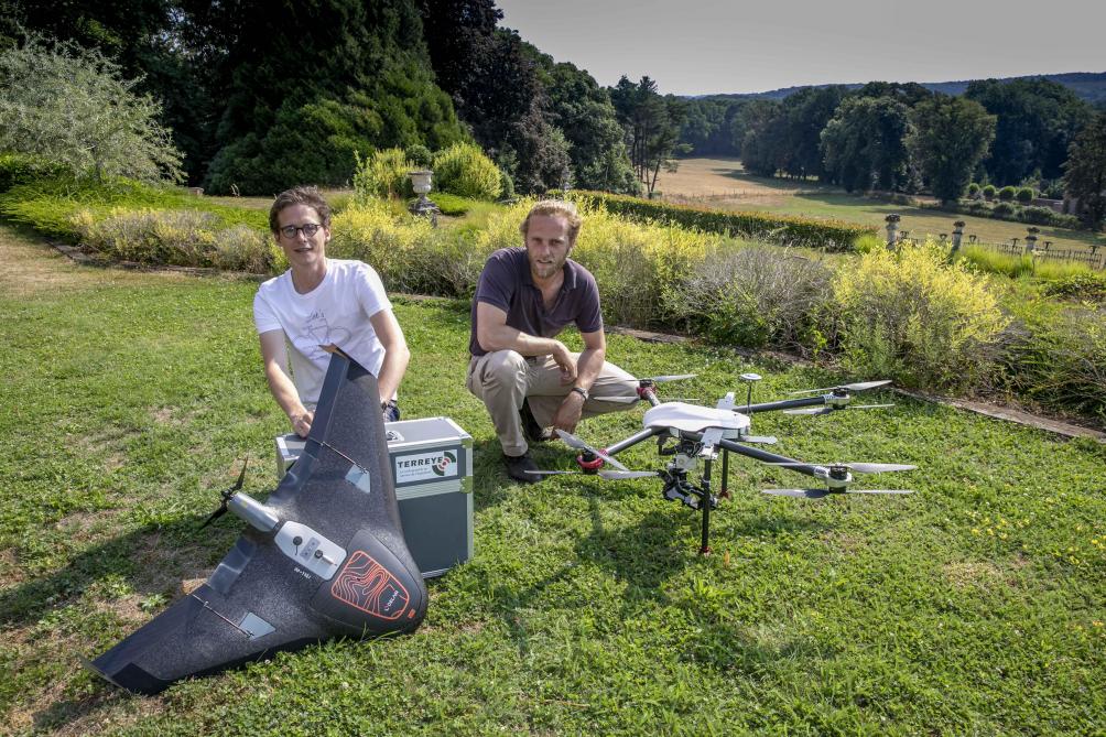
TerrEye specializes in acquiring, producing, and processing geospatial data. The company has become rapidly known in the agricultural and forestry sector for their mapping services for land managers. Today, TerrEye is recognized for their added value in monitoring private land, mapping maintenance, planning works and managing forested and agricultural parcels. The mapping service allows land managers to be in direct contact with the dynamics and the evolution of their natural heritage.

- Developer: TerrEye
