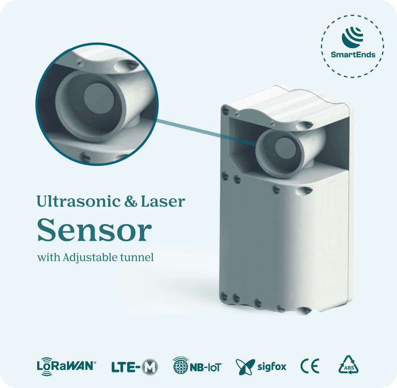
Smart Ends, a pioneering technology firm, specializes in the development of ultrasonic and laser sensor hardware and firmware, complemented by Software as a Service (SaaS) offerings through route optimization software and a navigation app tailored for truck drivers. This innovative technology serves Municipal Solid Waste (MSW) and Industrial Waste collection companies, empowering them to optimize their collection operations efficiently.

In 2019, Smart Ends introduced BrighterBins to the market, a cost-effective smart waste bin sensor designed to seamlessly integrate into public waste bins. BrighterBins has achieved remarkable success, penetrating 15 international markets and deploying over 8000 units, generating revenues exceeding €650,000 in the past three years. Notable installations include the city of Sheffield (UK), boasting the largest deployment of 2000 sensors, and Quatra, a waste oil collection company from Lokere (Belgium), which deployed 1600 sensors for route optimization. Operating from its headquarters in Ghent, Smart Ends has a dedicated team of two employees and four subcontractors, with an additional 12 Full-Time Equivalent (FTE) personnel working on research and development at its offshore center in Pakistan. The company has established sales offices in Oslo (Norway) and Dubai, strategically positioning itself to cater to diverse markets. Smart Ends’ connection to space technology is exemplified through its Geolokr division, which leverages geofence-enabled GPS-based location tracking systems to ensure accurate and consistent location-based information across various terrains and weather conditions. Geolokr’s sensors utilize GPS satellites to transmit real-time coordinates to sensor hubs, facilitating efficient monitoring and management of assets within specified geographical regions. To enhance its geolocation capabilities, Geolokr explores two design approaches: Semtech LoRAEdge and LoRaCloud: Leveraging LoRAWAN technology, this approach offers cost-effective location tracking within approximately 50 meters, with significant power savings. Geolokr has secured an agreement with Semtech to utilize this technology. Integrated GPS Receiver with Accelerometer: Integrating GPS modules into BrighterBins sensors, this approach optimizes energy efficiency by limiting GPS transmissions to instances of motion detected by an accelerometer. All location-based intelligence is processed in the cloud platform, reducing processing at the edge device and conserving battery power. Geolokr’s commitment to accessibility and operational ease is evident through its use of geofencing, which does not require additional licenses. Initial support for GLONASS, Galileo (EGNOS), and QZSS is planned, with potential expansion to Synset in the future.

- Developer : SmartEnds
